HARTS Tracking combines location devices with a map overlay so people and asset location information has a practical meaning within your operation.
The main focus is mining: which part of the site a report relates to, where personnel were last recorded, and what information is available when someone is unaccounted for. It brings together the physical device, the means of reporting its location and the map used to interpret it.
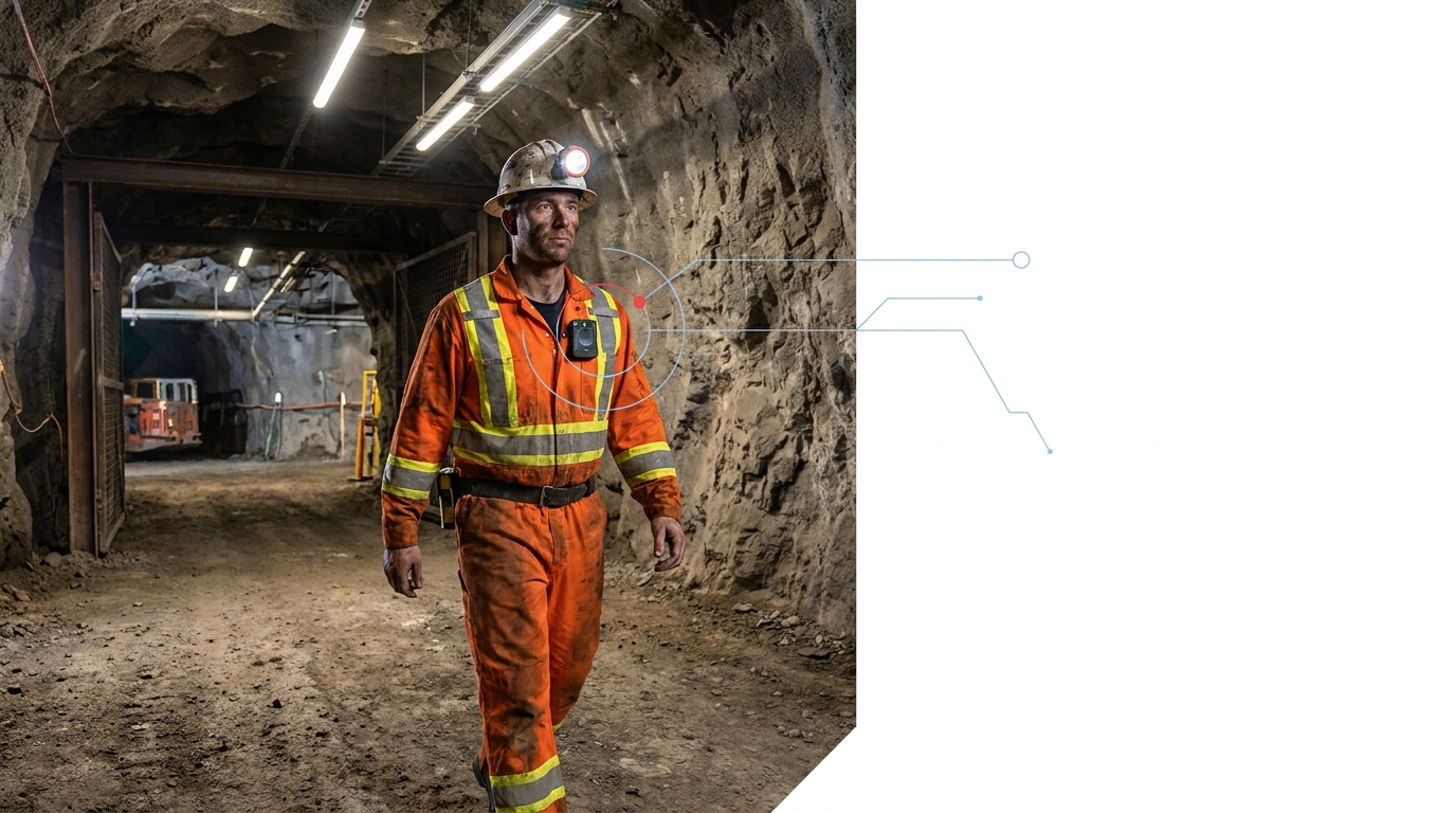
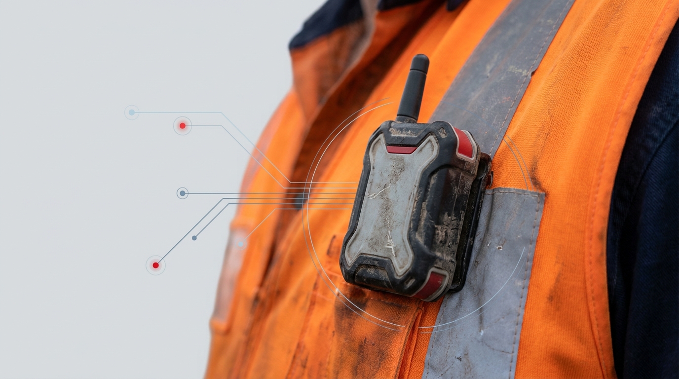
The unit is associated with a person, vehicle or asset. A position without a clear association does not tell the team who or what has been located. Depending on the technology, location is calculated by the device or established through fixed site equipment.
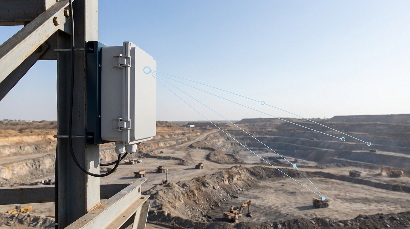
A unit may generate a location report yet be unable to deliver it immediately if the communications path is unavailable. Positioning capability and communications coverage are separate parts of the service.

The overlay places a report against the mine or site map, so the team relates it to recognisable areas instead of an isolated device number or coordinate.
A report may describe a coordinate, a detection at a known point or presence within a defined area. These are different types of location information, not interchangeable measures of precision.
A useful record links a device identity, the reported location and the time of the observation. The map helps interpret it, but never makes the measurement more precise than it is.
A missing update could reflect a communications interruption, a device issue or movement beyond the observed area. It does not establish that the person has remained at the last displayed point.
Device reports and their map context help the operation understand where individuals were last recorded and support checks when a person cannot be accounted for. The value of a record depends on whether the people responsible for the response can interpret and use it. See how this fits our wider work in mining.
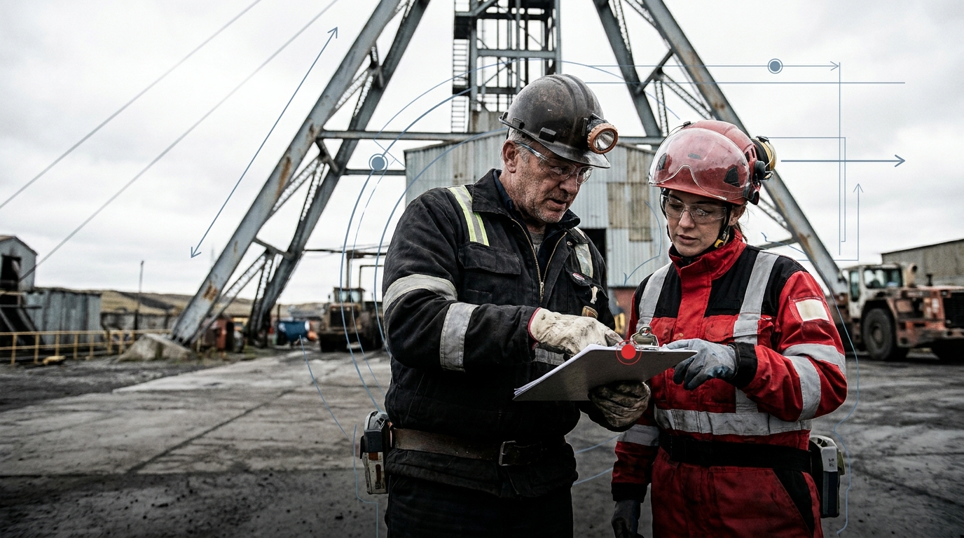
South Africa's regulations address missing-person locator systems. Compliance relates to the device and the wider mine arrangements, not the presence of a map alone.
Underground use requires an intrinsically safe device. The regulations also address emergency-response integration, battery life, data logging, training and maintenance.
Battery duration, reporting interval and positioning accuracy are properties of the selected equipment. More frequent reporting may change power demand, and a published hardware rating does not describe performance in every mine.
Where supported, an SOS input or device-status reporting adds information to the record. Receiving an alert is separate from the operational response to it.
Tracking stands on its own. Where supported data connections exist, HARTS AI can relate a location event to a task or incident, with a responsible person, a follow-up action and a record of what happened next.
Vehicle, farm and logistics applications are possible where the equipment and communications suit the environment. Each can need its own devices, power and mounting.
Mine vehicles, service fleets and mobile equipment, such as locating a service vehicle on a large property when a team needs support. Route history and movement alerts depend on the selected platform.
Does not, by itself, confirm availability, load, driver activity or task completion.
Field personnel, farm vehicles and movable equipment, such as a field team's last reported area. Depends on coverage across the property and suitable devices.
Distinct from crop monitoring, environmental sensing or livestock management.
Transport vehicles, trailers and equipped assets across yards, depots and routes. A yard may use checkpoints; on-road use needs wider reporting. Read more about logistics operations.
Location alone does not prove delivery, custody transfer, cargo condition or stock quantity.
The right arrangement depends on your working areas, the location technology installed and the communications available. We start there, rather than with a map.
HART Solutions Pty Ltd, trading as HARTS AI. Operational AI Platform.