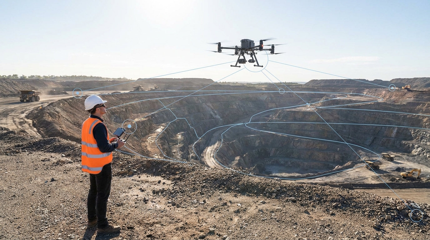
Security patrols and aerial observation, asset inspection, surveying, mapping and mining support. Each mission is built around one thing: the extent of an incident, the condition of an asset, a measured view of a working area or a visual record of activity.
Book a standalone engagement, or connect drone work to HARTS AI connected operations for task tracking and recorded outcomes.
Human in the loop
A drone view is supporting information. Decisions stay with your authorised personnel.
Patrol · Inspect · Survey · Monitor
Human in the loop
A drone view is supporting information. Decisions stay with your authorised personnel.
Support for sites dealing with unwanted drone activity. The selected technology determines what can be detected, at what range and with what confidence. Findings go to authorised personnel. Active countermeasures need the applicable legal and regulatory authority and are not a routine service.
A patrol supports observation and response. An inspection examines an asset. A survey creates measured spatial information. Choosing the right mission starts with the question you need answered.
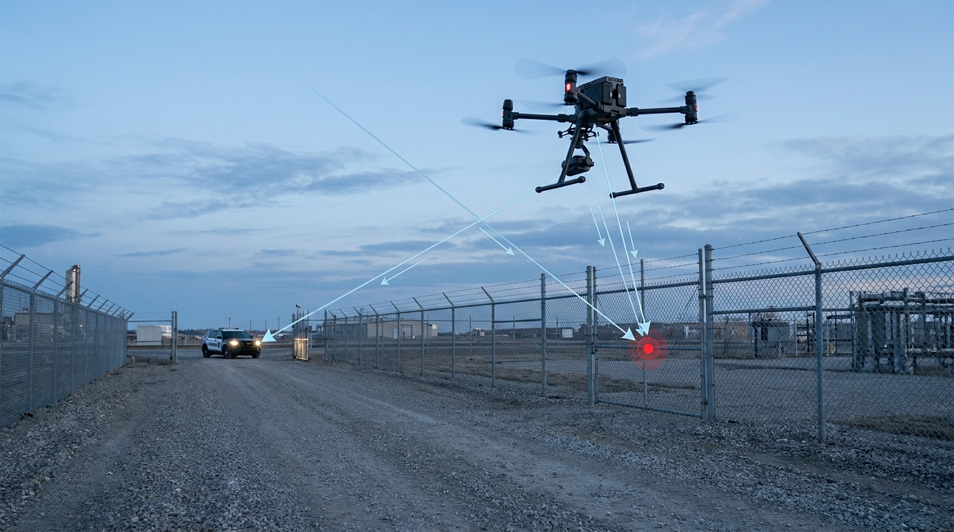
Aerial patrols view perimeters, access routes and selected operational areas, helping to assess suspected breaches and the scale of a reported event. Video and location support the ground team, while visual and thermal equipment suit different conditions.
An observation is not a confirmed cause, offence or identity. Personnel verify and manage the incident. See our Security work →
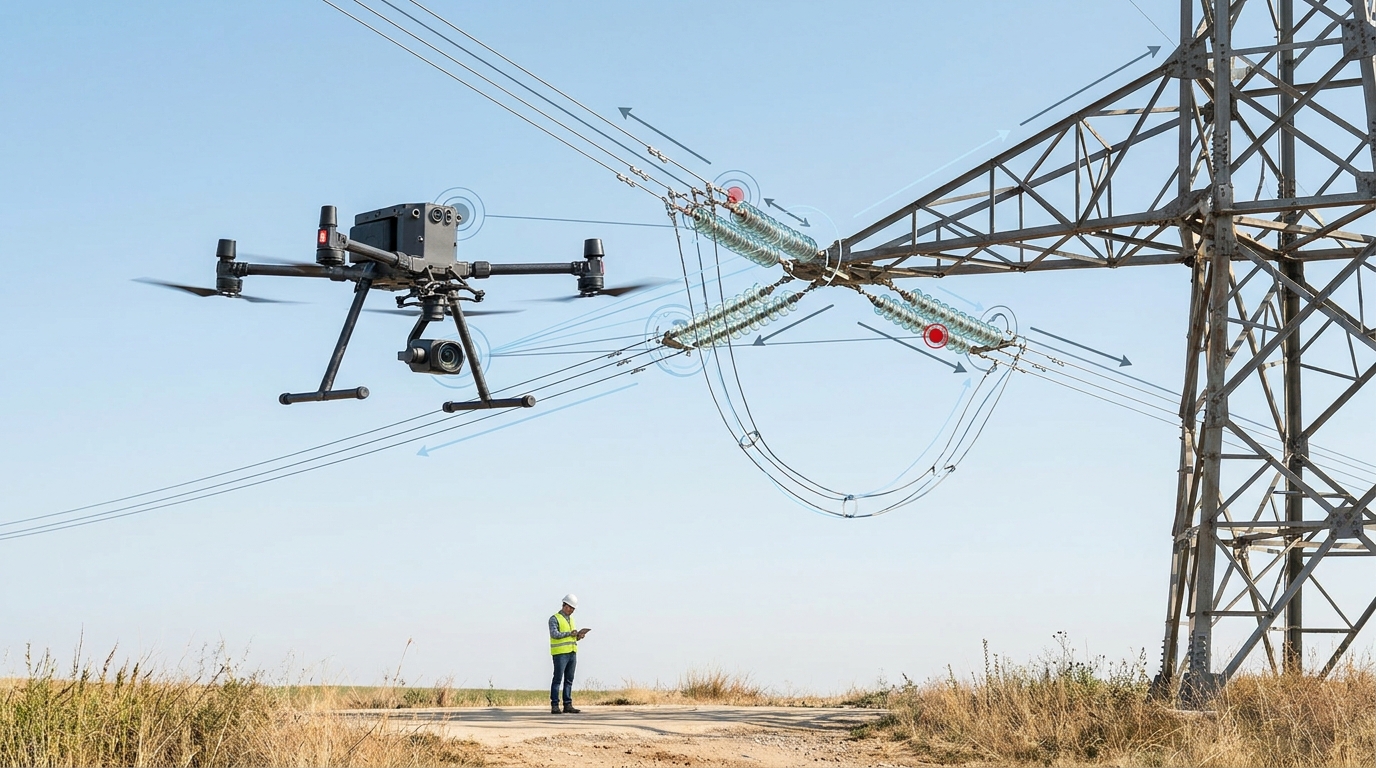
Photography, video and zoom equipment examine infrastructure from views hard to reach at ground level. With suitable radiometric equipment, thermal patterns help flag areas for further investigation, including powerline work and, where permitted, night inspections.
An apparent thermal abnormality is a finding for assessment. Engineers remain responsible for diagnosis.
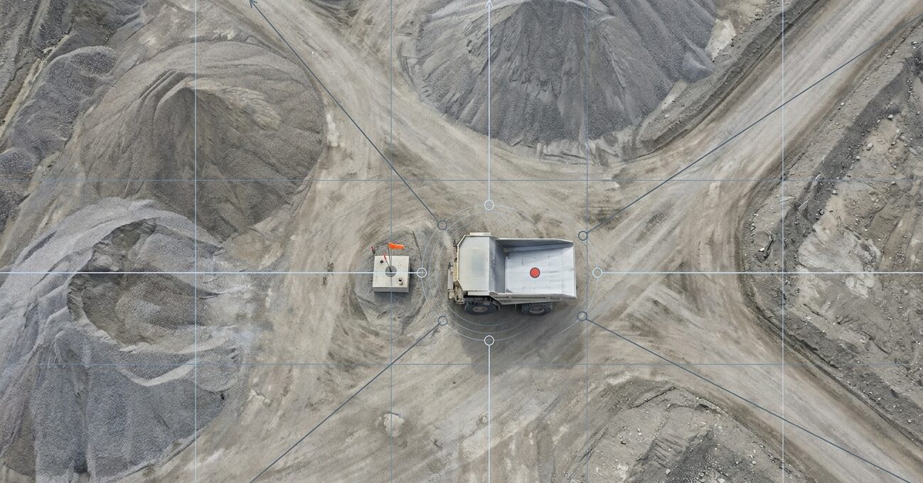
Orthomosaics, digital terrain models and volumetric difference reports for pit and dump mapping, rehabilitation, infrastructure records and change monitoring. Blast monitoring records the event before, during and after for the mine team. More on Mining →
Accuracy depends on survey method, ground control and processing. Blast decisions stay with the mine.
Stockpile surveys use measured surface information to estimate volume. Volume is distinct from mass: converting one to the other needs additional material information. Repeat capture also documents change in working areas, earthworks and rehabilitation.
An image is more useful when the recipient can identify the asset or area, understand the capture context and decide what needs attention. Where supported connections exist, HARTS AI relates an observation or finding to an asset, incident or task, so the responsible team can follow it through acknowledgement, action and recorded outcome.
That does not mean every camera feed is automatically analysed, every finding is AI-generated or any mission runs without human supervision.
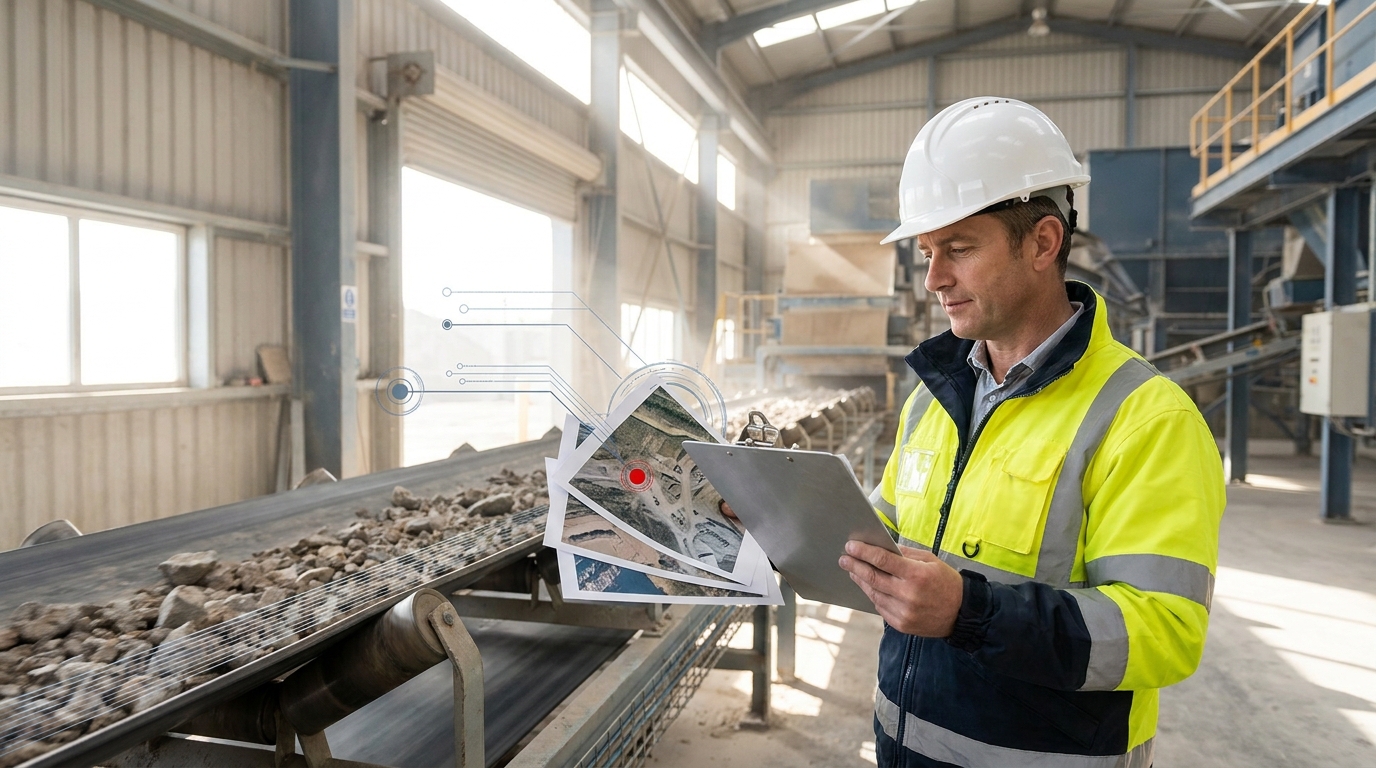
A perimeter you cannot see, an asset you need examined, a stockpile you need measured or a blast you need recorded. Tell us the operational question and we will scope the mission that answers it.
Run it as a standalone engagement, or connect it to HARTS AI so the finding becomes tracked, accountable follow-up.
Contact us directly at:
mike@harts.africa
+27 83 648 0321